In this book, rock-cut and underground structures of Koramaz Valley on the Anatolian Plateau in Turkey are described in detail. The valley; located in eastern Turkey near the town of Kayseri, has hundreds of rock-cut structures, in addition to several underground cities, and almost none of them have been studied before. Research conducted by a team from 2014 to 2020, resulted in this overview of all the rock-cut and underground structures in and around seven different settlements in the valley and aims for the physical documentation and inventory of all these structures. The book studies cliff settlements, rock-cut churches, underground cities, and funerary architecture in the valley. These shelters are estimated to have been built between the 7th and 10th centuries and even the smallest of these structures offer rich details for architectural, socio-cultural and historical studies. The rock-cut churches date to the Byzantine Empire period and during the research period, over 400 of these structures were explored, surveyed, and mapped in the region and with all these historical and natural values. Recently, the Koramaz Valley was accepted to the UNESCO World Heritage tentative list. This book is of interest to archaeologists and scholars of built heritage.
This book is a first in its own way. As a result of more than two years of cooperation with the General Directorate of National Parks, a cave inventory of a national park has been prepared for the first time in Turkey. The amazing canyons, caves, sinkholes, and waterfalls give the Küre Mountains National Park the reputation it deserves today and the unique vegetation and wildlife that complement them. This national park, located in northwestern Turkey, covers an area of 370 sq km. In addition, an area of about 800 sq km around this national park has been recognized as a buffer zone. With 125 caves discovered and surveyed so far, Küre Mountains National Park is one of the national parks with the greatest number of caves and has a worldwide significance simply because of this feature. This book provides a complete inventory of these caves.
This book comprehensively reviews the historical background of speleology and cave research in the contexts of archeology and natural sciences. It also offers a summary of selected topics related to the karstic terrain of Turkey. Covering 40 % of the country’s surface area, Turkey’s karstic terrain accommodates thousands of caves. However, understanding the geology, geomorphology, hydrology, biology, and ecosystem dynamics of these caves is still limited. Despite numerous explorations and extensive fieldwork, this is the first comprehensive publication on the topic since 1984. The book presents the 45 most significant caves in Turkey, selected according to several criteria, including esthetical uniqueness. It covers caves of global archeological importance, such as Karain, Yarımburgaz and Üçagızlı, and some of the world’s deepest caves, such as Peynirlikönü, Kuzgun, Morca, and Çukurpınar. The book includes a survey and a detailed description of the genesis, geology, geomorphology, and exploration history for each cave.
This book provides a comprehensive account of the underground shelters in the Cappadocia region of Central Anatolia. These subterranean defensive structures, which are estimated to have been constructed by the local population between the 7th and 11th centuries AD to protect themselves against Arab raids, have regrettably not been extensively archaeologically and scientifically investigated until now. Nevertheless, these shelters, which are estimated to number in excess of 200, represent a significant and invaluable component of the architectural and cultural history of the region, in a manner analogous to the renowned rock-cut churches of Cappadocia. After providing an overview of the geological and historical background of the region and summarising previous studies on the subject, this book discusses a wide range of issues pertaining to these underground shelters, including excavation techniques, defensive devices, and dating debates. Finally, a list of all the underground shelters identified so far is presented, and 50 important structures selected from among them are described in full detail.
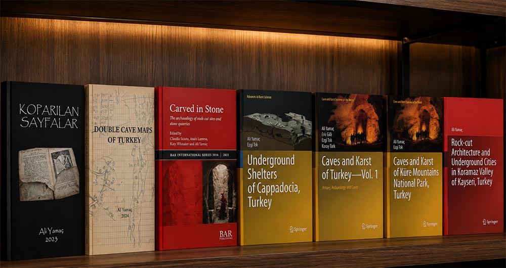
The study of marks left by humans on stone outcrops is an interdisciplinary endeavour that entails geology, history of techniques, ethnography as well as experimental archaeology. Moreover, the investigation of carved landscapes contributes to the understanding of the complex relationship between human groups and their environments. This volume represents an overview of different case studies of rock-cut sites and quarries, approached as knots in the network of people-stone interactions. The book is the result of a long exchange developed during European Archaeologist Association conference sessions aimed at turning the attention of the international scientific community towards the relevance of the archaeological study of rock-cut sites and quarries, and to promote the creation of a European network of researchers working on the subject.
Mapping a cave requires precise and tiring work. In a dark, mostly humid, muddy and wet environment, hundreds of stations are detected, distances between stations, compass and clino measurements are taken and rechecked when necessary, and most importantly, detailed sketches are drawn in these challenging conditions. Then, these muddy sketchbooks open onto the desk, and the drawing begins. If the cave is long and complicated, this desk work takes days, sometimes weeks, and no one pays you for your hard work. It is only a document of your extraordinary discovery and effort. Given all these difficulties, there should be a logical and sound reason for remapping a previously mapped cave. The most important reason is the idea of correcting the existing errors in the old map and drawing a new map that is better and more detailed than the old one.
As far as we have been able to determine, there is more than one map of 79 caves in Turkey, and –unfortunately- the reason why most of these second, even third and fourth maps were drawn is not the logical reason we mentioned above. Most of these caves have been remapped for the following reasons:
The first and most important reason is that the team investigating the cave needs to learn that this cave has been previously explored and mapped. This problem is due to several reasons. First, there was no inventory of the studies conducted for many years, and the groups working in the field cannot do a comprehensive literature review before this study. On the other hand, although we have had an inventory of caves for many years, regional cave information still needs to be improved. Different names are given to the same cave by local people or different cavers, creating a severe problem. As a natural consequence, some caves can be remapped due to their different names.
As a result of all these mistakes, today, we have 185 different maps belonging to 79 caves. Some cave maps show how minor survey errors accumulate, leading to significant errors. Some other maps have been marked with such precise measurements that despite all the years that have passed and the advances in measurement techniques, the redrawn map is like a copy of the old one.
Neither an Artemis statue is merely an Artemis statue, nor is a Neolithic idol merely a Neolithic idol. These artifacts possess a meaning far beyond their artistic and aesthetic value. This meaning, ultimately, is “knowledge.” Archaeological finds, before and far more importantly than all other values, are fragments of “knowledge,” pages in a vast book. To assign artistic value to an archaeological artifact, turning it into a commodity to be bought and sold, means to destroy all the knowledge that could be learned from it in the name of aesthetic beauty. The demand resulting from the idea of perceiving archaeological artifacts solely as works of art encourages and supports illegal excavations, filling museums and private collections with pieces of unknown origin over time. In this sense, every archaeological artifact found and sold as a result of illegal excavations is a page torn from the book of the history of civilizations. Yes, you can frame a beautiful page torn from that book and hang it on your wall. But now, neither that page alone will carry any meaning, nor will the book from which that page was torn tell you anything. In this book, we will present examples of pages torn from the history of Anatolia and Cyprus over a period of more than a century. And the fragmented, worn book that remains after these pages are torn is already open before you…